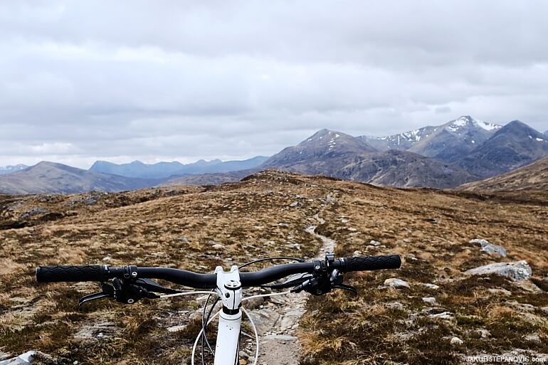
Making a solo adventure across a vastly remote area of the Scottish Highlands.
Underneath the UK's tallest mountain is a long valley of Glen Nevis, stretching between Fort William and Corrour. It is a place that was sitting among the top of my bucket list of Scottish locations where I wanted to ride a mountain bike. And so, when I recently had a day off, I set to do just that.
I've never been further than a few miles into the glen's western portion, as what's laying further east is very isolated. At one point, there are no settlements or paved roads in a radius of 6.5 miles (10km) of mountains, which means there is hardly any traffic at all. Together with the picturesque character of the place, it worked like a magnet to me. A map indicated that there should be a hiking trail going through, but seeing a hiking trail on a Scottish map can mean of anything from a well-graded, wide path to nothing at all. I didn't research this particular one and went for it. After all, exploring unknowns is a satisfying thing to do.
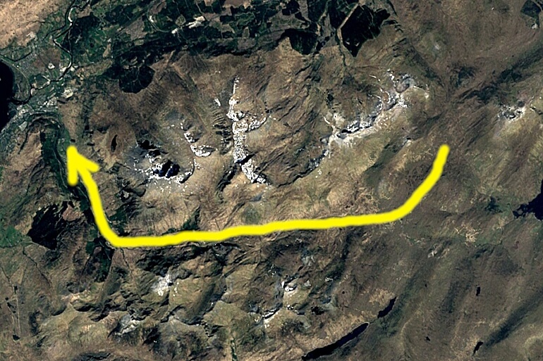
The Plan. (Image by Copernicus – The European Earth Observation Programme)
To magnify this sensation, I didn't have any fancy tracking services this time because my phone died a few days before the trip (after four years of service). I didn't get a replacement yet and went analogue this time. "How will that go?" I thought as headed to Spean Bridge, from where I wanted to reach the glen. "Well, there's a way to find out."
I hit the narrow road to Corriechoille, where it turns towards a mountain pass that leads to the glen. At the point when it started gaining some elevation and turned from pavement to gravel, there was a sign saying that "You are entering a remote, sparsely populated and potentially dangerous area." The thrill began.
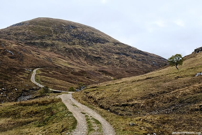
An excellent dirt road took me almost all the way up the pass, so it was an easy climb. Near the saddle, the track got rougher, and the surroundings got more scenic.
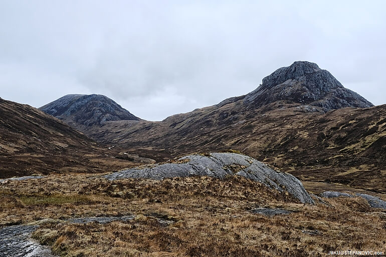
And the further I went, the better I felt. In the beginning, I thought about my last week, what I need to do tomorrow, all kinds of things. But by this stage, the track diminished to a narrow trail, and I focused only on the present. The mud around, being cut by chunky tires at a few places, indicated that some other folks must've had the idea to bike here too. But I didn't see anybody. I had the whole thing for myself.
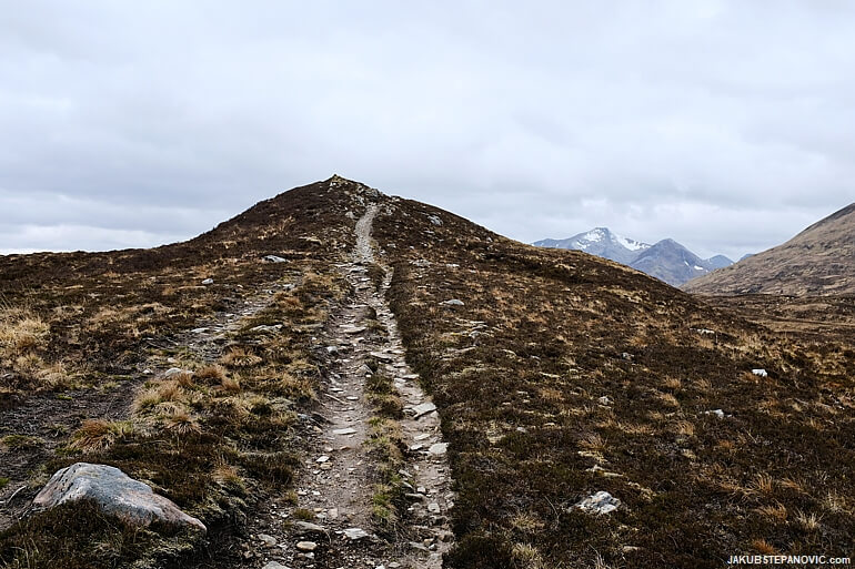
At the top of the pass, I took a break to have lunch and enjoy the views. "What scenery to be in!" I thought, and as I looked on the downhill path to the glen, I had a big grin on my face. I couldn't wait to blast down!
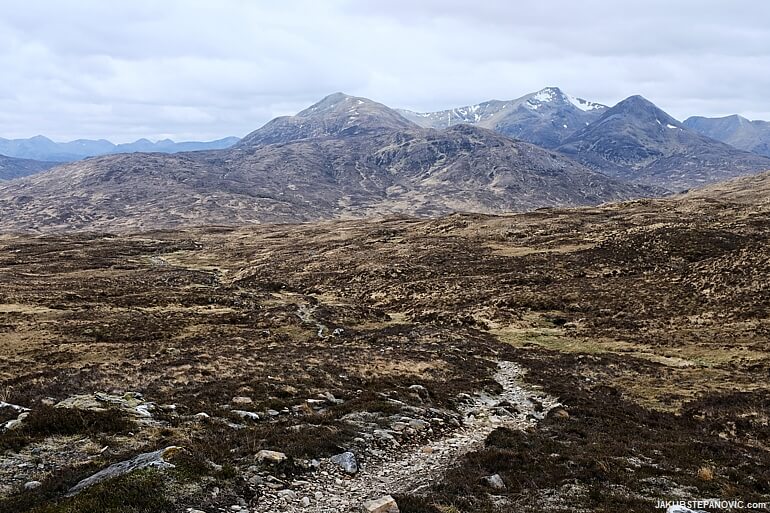
Sure enough, I set off in no time, and it was terrific. Narrowing the scope of my thoughts that I mentioned earlier extended to my inner voice vocabulary now. Any sophisticated sentences changed to simple shouts like: "Wow, so nice! Wow, that creek was deeper than expected! Wow, no traction! Wow! Excitement!" The joy reached new heights.
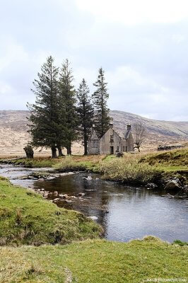
Towards the end of the descent, I knew that I should turn right somewhere. However, I spotted a few trees in the distance sheltering an old structure that begged for a closer look. So, I kept straight until I got to a river, separating me from the ruin:
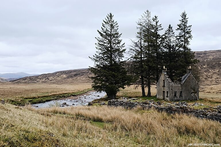
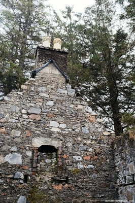
The structure is the Luibeilt house. It looked like it used to be a likeable dwelling at some point, but there's only a set of weathered stone walls with multiple fireplaces nowadays.
The stream was too deep to smash it through on a bike, so I took off my shoes, utilized the crossing as an opportunity for refreshment and cleaning the mud off my bike, and entered the ruin.

Arranged in the barren environment in the middle of nowhere, with nobody in sight, it formed a mysterious mixture of romanticism and spookiness. "Who knows what it has witnessed.." I wondered.
My contemplation about the house's history got interrupted by a strong wind from the west – the way I needed to go. It was pushing a storm directly towards me. "Better keep moving to stay warm!" I thought and set off into the cloud. It turned out to be a hailstorm. What was worse, I couldn't find anything that would hint at a trail: no bicycle tracks, or any footprint whatsoever, nothing. Just vast grassland edged by mountain slopes towering to the low-hanging sky.
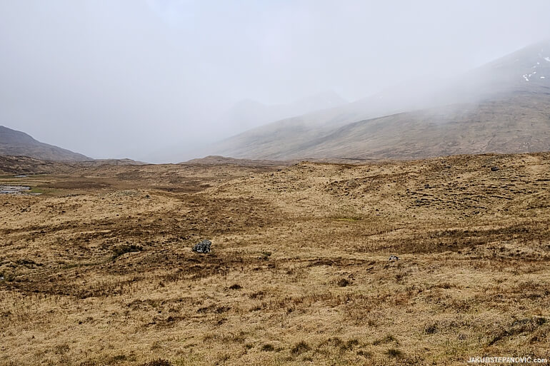
Cycling on this surface, um, it is rather difficult. Everything looks the same; but suddenly your front wheel disappears in a deep bog, halting the efforts to go forward. I ended carrying the bike on my shoulders, time was dragging, and I had to give up on keeping my feet dry. While I had extra socks with me, there was no point in changing them now. When I got to another river I had to ford, I didn't bother to take my shoes off. It made no difference.
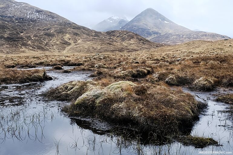
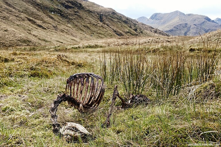
After passing through the inhospitable but stunningly beautiful land of no one, the clouds unveiled a skeleton, still bearing some flesh on the bones. It added to the atmosphere from Luibeilt and reminded that one should know their limits.
Still, this wasn't a place for gloomy thoughts. "Keep marching, keep looking; the trail can't be too far," I was trying to convince myself. And sure enough, it appeared out of nowhere. Oh, yes! Please!
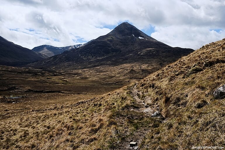
Not that it would be smooth, but it's fine. A rugged path where one has to constantly shift their weight to maintain traction and think about line choices to avoid pedal strikes, that's mountain biking! Finally, I was making progress again. Even the clouds cooperated: just as I passed a small waterfall, they momentarily made room for the sun. Snack time! From here, the trail improved with each mile.
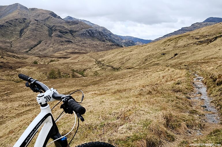
Suddenly, I saw a familiar set further in the glen, a small white dot, recognisable as the Steall Hut. "Ha; I was down there before!" I also spotted a convenient tripod-like rock nearby, so here goes a selfie:
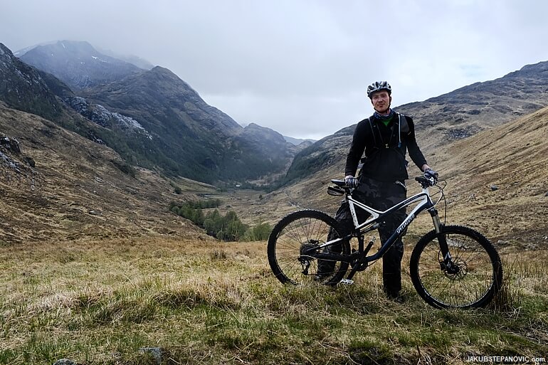
Starting with this point, I knew what was ahead of me: Glen Nevis' gem, the Steall Falls, and a maintained trail back to civilization.
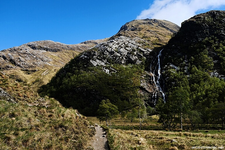
Steall Falls, gorgeous as always.
The Steall Falls are only a mile from the nearest parking lot, so the last section of the trail was a tad busy. But as it goes downhill, it is immense fun to cycle. It gave me a second breath, shaking off the exhaustion that started to creep in after the day in the saddle.
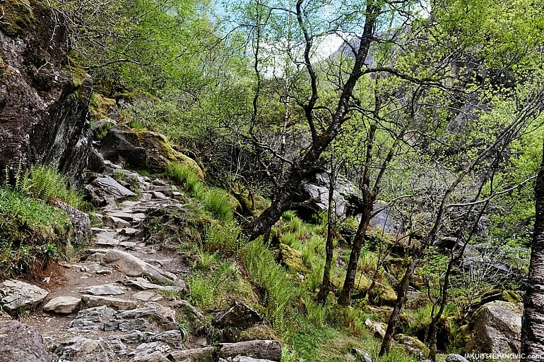
I just had to focus on staying upright; gravity took care of the rest. So good! And so, I passed the parking lot straight into another off-road trail parallel with the paved road, prolonging the delight of wilderness and mountain biking.
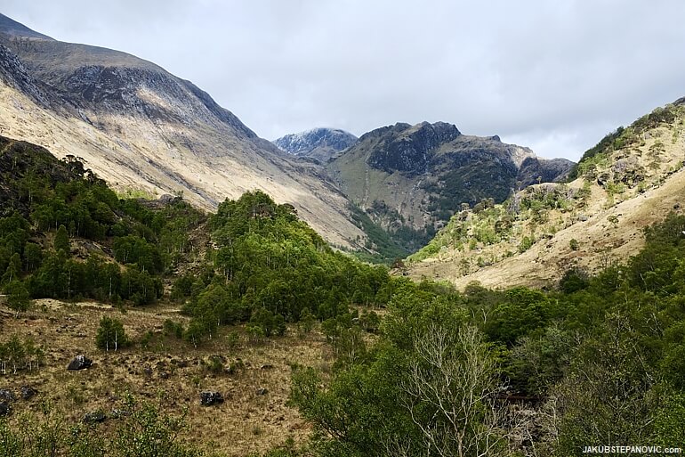
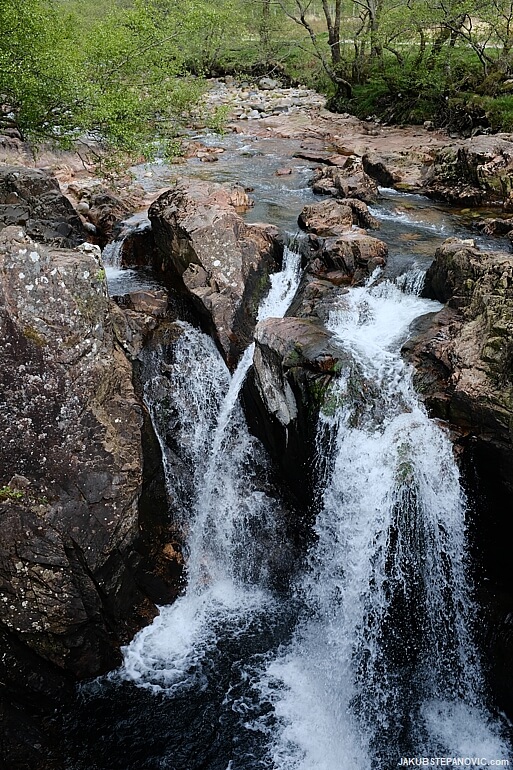
Eventually, I got back to the road, around which are a few other neat waterfalls:
Due to their accessibility, they were pretty crowded. It made me think that those people who drove here could say they had an outdoor adventure – and how is it a loose term, like the hiking trail. I concluded with gratitude that I could go out like I just did. Then I utilized the accessibility myself as I joined the road, which took me to Fort William.
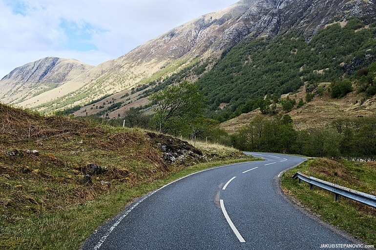
Usually, I tend to avoid pavement as much as possible while cycling. But when it looks like this, I don't mind.
In Fort William, I got fish and chips, refilled my water bottle, relaxed in the sunshine a bit..
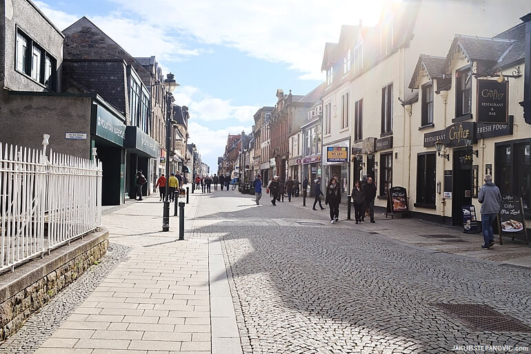
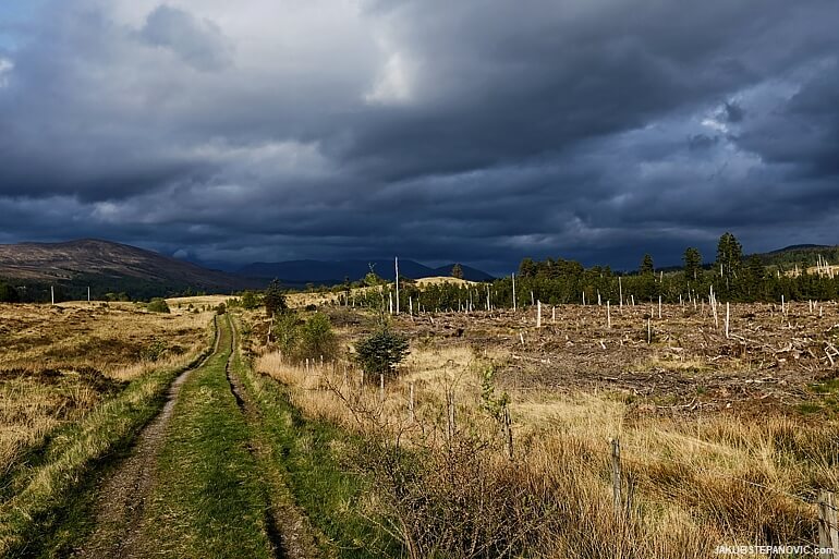
..And joined some designated cycling paths north, back towards Spean Bridge. They proved to be a good choice, keeping me entertained with the remains of Inverlochy Castle from the 13th century and the Nevis Range diversion, where are some fab bike trails to end the day in style. The evening light wasn't bad either:
A chocolate cake with ice cream in Spean Bridge before setting off home-bound was then a well-deserved celebration of a fantastic day out.
If you enjoyed this post, you might also like my articles featuring mountain biking, the beauty of the Scottish Highlands, or my other solo-travel adventures, such as these:
Hongcun: an enchanting ancient town in China. |
Colorado Road Trip: across the US' colourful state. |
Alternatively, browse my Blog Archives for more topics and categories. Thanks for reading!
Comments are closed.